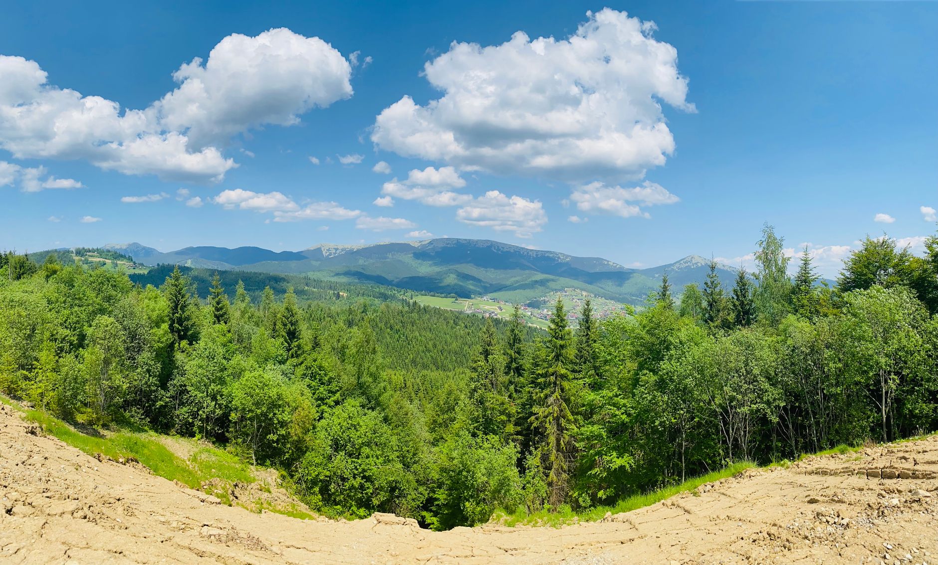
The weather here shapes the house, the calendar and the weekend, so I have written all three down.
This page is for the family that has just decided on Colorado and has not yet lived a year in it. It covers the climate you will actually meet, what each season opens up, the trails and open space around Colorado Springs and the Denver metro, and what a Front Range house asks of the person who owns it. Every figure names the agency that published it.
The weather here is sunnier, drier and more seasonal than the sentence on the postcard suggests.
Almost everything a newcomer hears about the Colorado climate is half right, and the half that is missing is usually the part that changes a weekend or a roof. These are the figures the National Weather Service, the state climatologist and Colorado State University Extension actually publish.
- The three hundred days of sunshine line is a marketing claim, and the real number is about 245.
The state climatologist's office and the Colorado Sun both trace the figure to roughly 245 days with at least partial sun. Colorado Springs records 247 days with sun, 127 of them fully sunny and 120 partly sunny, and Denver records 245, or about 69 percent of the possible sunshine in a year. That is a great deal of light, and it is not three hundred cloudless days.
- Snow falls between October and May, comes in bursts, and usually melts within days.
Colorado Springs averages 33.6 inches a season on the thirty year normal from NWS Pueblo, while Denver International Airport averages 47.0 inches for 1991 to 2020. Denver's average first measurable snow lands October 18, the average last spring freeze is May 3 in Colorado Springs and May 5 in Denver, and the latest freeze on record for Denver was June 8, 2007, so tender plantings wait until after Mother's Day. The familiar claim that March rather than January is the snowiest month is not carried in the research behind this page, so confirm it against the National Weather Service record before you plan a move around it.
- The storm window runs April 15 to September 15, which is why a summer hike starts early.
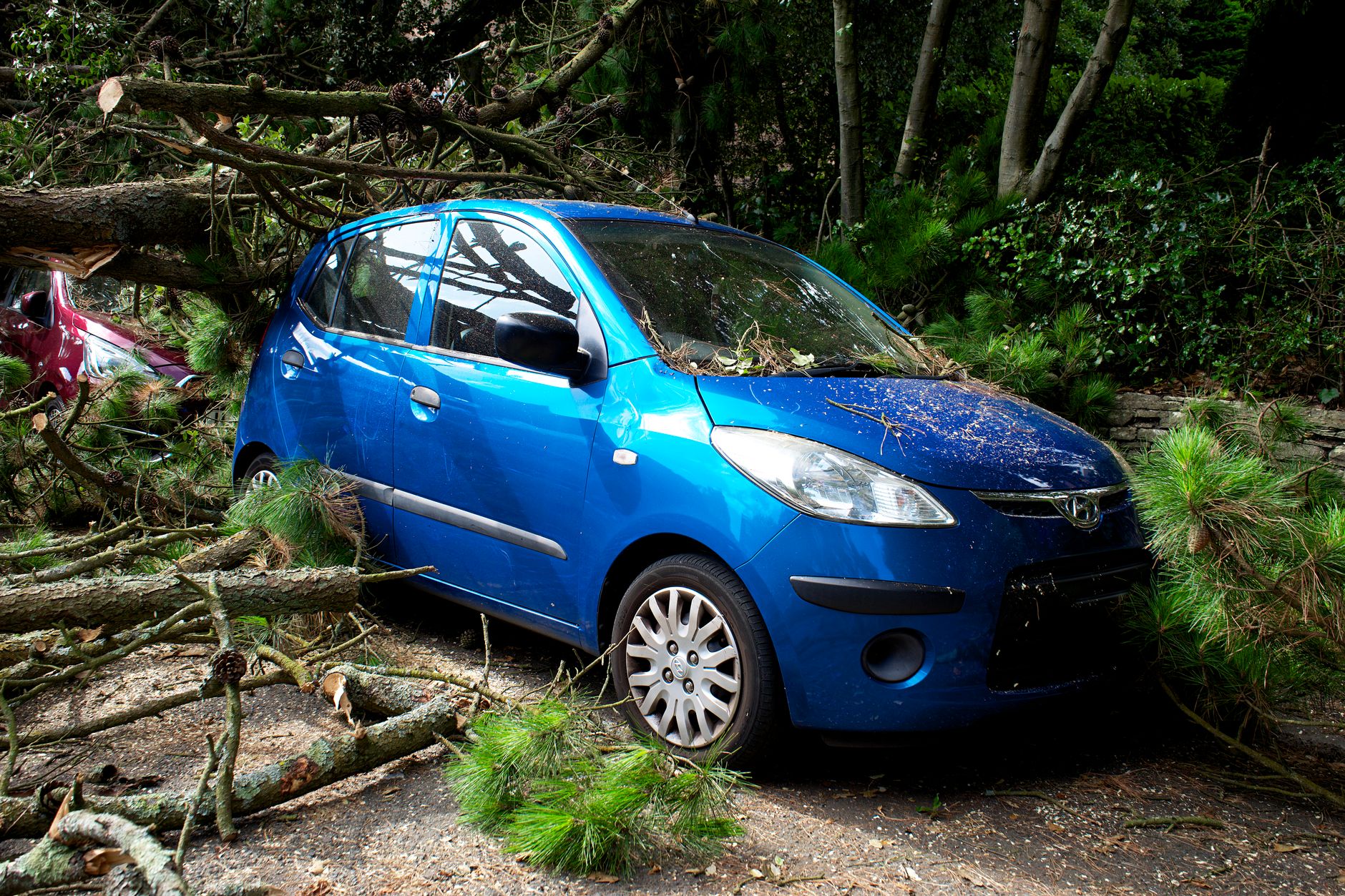
The Front Range sits inside the corridor insurers call Hail Alley, which records more hail than any other part of North America. June is the peak month statewide and mid June is its most destructive stretch, while southeastern Colorado peaks later, in August. Typical damaging stones run 1 to 2 inches and northeastern Colorado has recorded stones of 4.5 inches. Inside that window we start early, turn around early, and read the forecast the morning of, because exposed ground and an afternoon storm make a poor pair.
- The air is dry and thin, and the body takes a few days to a couple of weeks to settle into it.
Plan on roughly double the water you drank at lower elevation for the first two weeks, since dehydration is the most common reason newcomers feel poorly, and go lighter on alcohol until you have acclimated. At 5,000 to 6,000 feet there is about 25 percent less atmospheric protection from UV, so sunscreen becomes a year-round habit, including in winter and on snow. Expect exercise to feel harder for several weeks, because a runner used to 10 miles at sea level might manage 6 at first, and potassium rich foods such as bananas, avocados and potatoes help replace electrolytes.
- Strong daytime sun and cool evenings are the norm in every season, so we dress in layers all year.
A single day here can open cold, warm quickly under a high sun, and cool again the moment the light goes, which is the reason a jacket lives in the car in July as readily as in January. The same dry air changes the kitchen: water boils at about 203 F at 5,000 feet instead of 212 F, so a hard cooked egg needs closer to 5 minutes than 3, and CSU Extension advises reducing baking powder by about 1/8 teaspoon per teaspoon, reducing sugar by up to 1 tablespoon per cup, adding 1 to 2 tablespoons of liquid per cup, and raising the oven 15 to 25 F.

Each of the four seasons opens something specific, and these are the ones I send people to first.
Every item below comes from the managing agency's own published rules, so the hours, the fees and the reservation systems are the ones you will meet at the trailhead.
Summer is for the long graded miles and the shuttle seasons.
Ride or walk Waterton Canyon at Littleton, 6.2 to 6.5 miles of gravel service road to Strontia Springs Dam, allowing for the two week maintenance closure in early June. Take the free Park to Park shuttle to Chautauqua on any weekend from May 23 to September 7. Circle the 880 acre reservoir at Cherry Creek State Park on 35 miles of trail.

Autumn is the short season, and it is the one worth planning around.
Walk the Section 16 loop above Gold Camp Road, 5.9 miles and about 1,290 feet through ponderosa forest. Climb the Castle Trail at Mount Falcon from Morrison to the Walker Home ruins, about 5.6 miles. Book the furnace tune up before the average first freeze on October 7 in Denver and October 8 in Colorado Springs, and the sprinkler blowout before November 1.

Winter keeps the parks open on shorter hours and rewards a January indoors.
Garden of the Gods and Red Rock Canyon both run 5 a.m. to 9 p.m. from November 1 to April 30, and both are free. Run a short term radon kit in January, which CSU Extension calls the best month because the house stays closed. Active military and veterans enter every Colorado state park free on November 11.
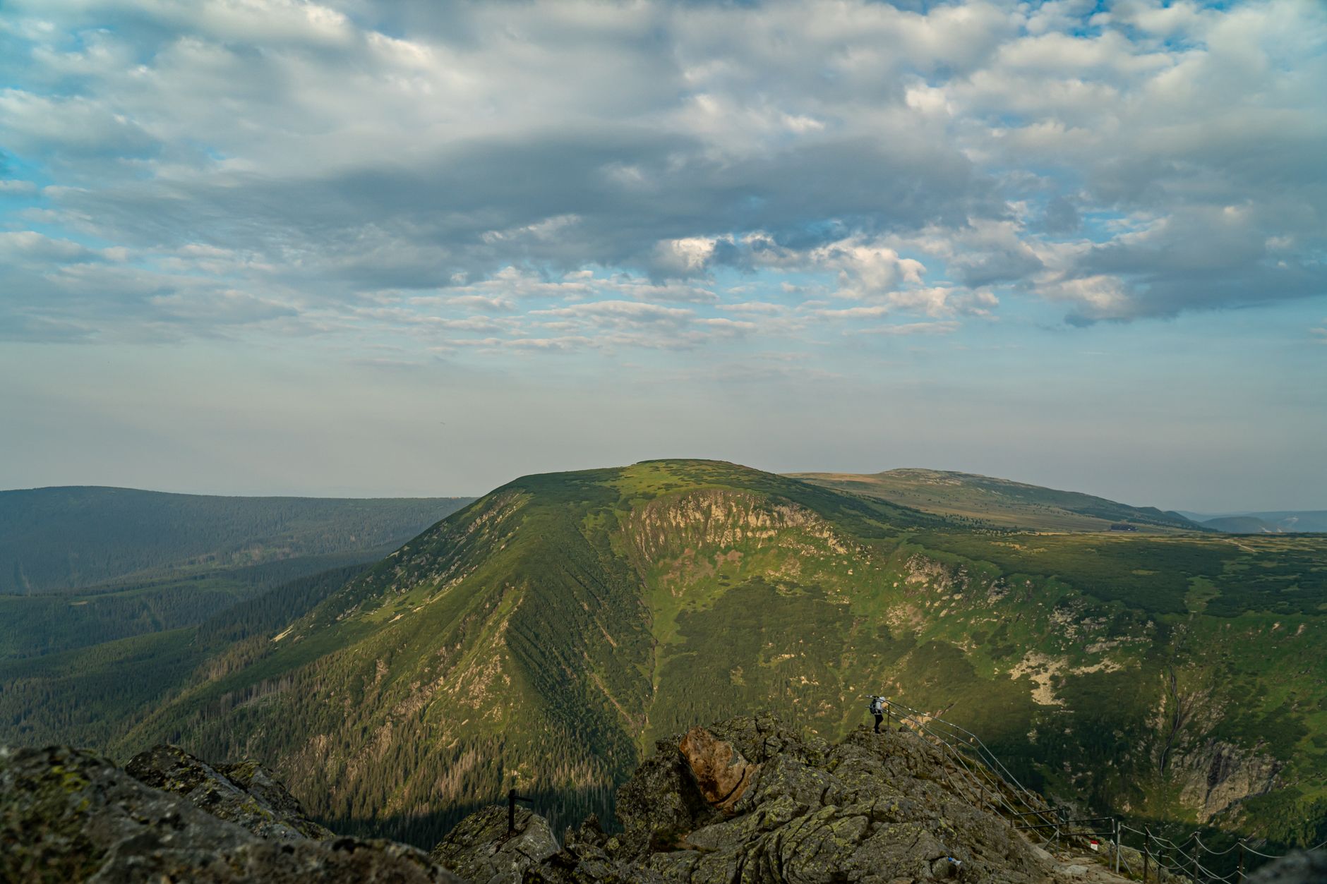
Spring opens the steep ground and starts the year of house work.
Book a free Manitou Incline reservation up to a month ahead for the 2,768 steps and roughly 2,000 feet, and park at Hiawatha Gardens for the free shuttle. Walk the 4.3 mile Palmer Red Rock Loop while the lots are still quiet. Clear the home ignition zone from March to May, starting with a 5 foot rake back around the foundation.
Every trail below carries its own managing agency, its own dog rule and its own 2026 access system.
Six of these sit near Colorado Springs and six near Denver, with Barr Trail listed alongside them because it is the route to the summit of Pikes Peak. The agency column matters more than it looks: the leash rule at a city park is not the leash rule at a state park, and three of these places changed how you arrive in 2026.
- The Manitou Incline still requires a free online reservation in 2026.
Reservations open up to one month ahead at coloradosprings.gov/incline and are checked at the entrance along with proof of parking. Park at Hiawatha Gardens or Iron Springs Chateau and ride the free shuttle, because Ruxton Avenue, Winter Street and the Barr lot are off limits for Incline parking.
- Chautauqua charges for weekend parking from May 23 through September 7, 2026.
The City of Boulder confirmed the season as every weekend plus Memorial Day, Juneteenth, Independence Day and Labor Day. Parking on those days runs $2.50 per hour from 8 a.m. to 5 p.m., and the free Park to Park shuttle runs every 30 minutes from 8 a.m. to 8 p.m. from 19 stops around Boulder, with dogs, strollers and gear riding free.
- Waterton Canyon stays open through 2026, with its usual maintenance closure in early June.
Denver Water reported construction continuing into early summer 2026 with no canyon closures planned, alongside the two week maintenance closure it takes every June. Check the Denver Water page the week you intend to go.
| Trail | Nearest city | Managing agency | Length | Elevation gain | Difficulty | Dogs | Parking or reservation |
|---|---|---|---|---|---|---|---|
| Garden of the Gods Park, Perkins Central Garden Trail | Colorado Springs | City of Colorado Springs Parks, Recreation and Cultural Services | 1.5 mile paved loop; approximately 21 miles of trail in the park, to confirm | Approximately 100 feet or less on the paved loop, to confirm | Easy on the paved loop; moderate on the outer dirt trails | Leash of 6 feet or shorter at all times; owners remove waste | Free entry and free lots; open 5 a.m. to 10 p.m. May 1 to Oct 31 and 5 a.m. to 9 p.m. Nov 1 to April 30; main lots fill by mid morning in summer |
| Manitou Incline | Manitou Springs | City of Colorado Springs, with the City of Manitou Springs | 2,768 steps over just under 1 mile one way; the return is about 4 miles down Barr Trail | About 2,000 feet, from near 6,530 feet to near 8,500 feet | Very difficult; the city recommends it for physically active and advanced hikers only | No dogs on the Incline | Free online reservation required, bookable up to one month ahead at coloradosprings.gov/incline; no parking on Ruxton Avenue or Winter Street; park at Hiawatha Gardens (paid) and ride the free shuttle |
| Red Rock Canyon Open Space | Colorado Springs | City of Colorado Springs Parks, Recreation and Cultural Services | More than 40 miles of trail; Red Rock Canyon Trail 1.5 to 2 miles; Palmer Red Rock Loop 4.3 miles | 150 to 350 feet on most loops; about 610 feet on the Palmer Red Rock Loop | Easy on the canyon floor; moderate on the mesa and quarry loops | Leashed everywhere, including the lot, except inside the two fenced off leash loops near the main lot | Free; main lot on 31st Street; open 5 a.m. to 10 p.m. May to October and 5 a.m. to 9 p.m. November to April |
| Cheyenne Mountain State Park | Colorado Springs, off Highway 115 | Colorado Parks and Wildlife | 21 trails totaling more than 27 miles; Dixon Trail 4.5 miles one way to the summit ridge | Rolling on the lower loops; Dixon Trail gains several thousand feet, exact figure to confirm | Easy on the prairie loops, moderate on Talon and Sundance, difficult on Dixon and Dragon's Backbone | Leashed dogs only on about 2 miles of designated trail: Acorn Alley, Bobcat Way, Raccoon Ridge, part of Soaring Kestrel | Daily vehicle pass $10 to $15, or an annual or Keep Colorado Wild pass; walk in pass $4; open 5 a.m. to 10 p.m. |
| Palmer Park | Colorado Springs, Maizeland Road | City of Colorado Springs Parks, Recreation and Cultural Services | More than 25 miles of multi use trail across more than 730 acres; Yucca, Templeton, and Mesa trails | Approximately 400 feet or less on the loops, to confirm | Easy to moderate, with rocky and sandy footing | On leash on the trails; a large fenced dog park inside the park | Free; lots at the trailheads, Grandview Overlook, and the sports fields; open 5 a.m. to 9 p.m. daily |
| Section 16, Palmer Trail Loop | Colorado Springs, Gold Camp Road | City of Colorado Springs Parks, Trails and Open Space | 5.9 mile loop | About 1,290 feet | Intermediate to difficult; the first mile is exposed red rock, the rest is ponderosa forest | Must be leashed | Free; a small lot at the Section 16 trailhead on Gold Camp Road that fills on weekday evenings and summer weekends |
| Barr Trail to Pikes Peak | Manitou Springs | U.S. Forest Service, Pike National Forest | About 13 miles one way to the 14,115 foot summit; Barr Camp is about 6.5 miles up | Nearly 7,400 feet | Extremely difficult; a full day or an overnight at Barr Camp | Allowed on leash; only for dogs acclimated to long climbs | Limited paid parking at the Barr trailhead lot at the top of Ruxton Avenue; most hikers park at Hiawatha Gardens and ride the free Manitou shuttle |
| Red Rocks Park, Trading Post Trail | Morrison | Denver Mountain Parks, Denver Parks and Recreation | 1.4 mile loop | Approximately 300 to 500 feet; sources vary, to confirm | Easy to moderate; rough footing in places | On leash at all times; owners clean up | Free; trails open one hour before sunrise and close one hour after sunset; lots fill on concert days and summer mornings |
| Mount Falcon Park, Castle Trail | Morrison and Indian Hills | Jefferson County Open Space | About 5.6 miles as a loop from the Morrison trailhead to the Walker Home ruins | About 1,750 to 2,000 feet from the Morrison side; little gain from the Indian Hills trailhead | Moderate to difficult from Morrison; easy from Indian Hills | On leash | Free, no permit; east trailhead at 3852 Vine Street, Morrison; the Morrison lot fills early on summer weekends; open one hour before sunrise to one hour after sunset |
| Chautauqua Park, Chautauqua Trail and Royal Arch Trail | Boulder | City of Boulder Open Space and Mountain Parks | Chautauqua Trail 1.2 miles out and back; Royal Arch about 3.5 miles round trip | About 459 feet on Chautauqua Trail; about 1,400 feet to Royal Arch | Easy to moderate on Chautauqua Trail; moderate to difficult on Royal Arch | Leashed at the trailhead; off leash only on designated voice and sight trails with a City of Boulder Voice and Sight tag | Paid parking $2.50 per hour, 8 a.m. to 5 p.m., on weekends and holidays May 23 through Sept 7, 2026; free on weekdays and off season; the free Park to Park shuttle runs every 30 minutes, 8 a.m. to 8 p.m., on those same days |
| Cherry Creek State Park | Aurora | Colorado Parks and Wildlife | 35 miles of multi use trail, 15 paved and 20 natural surface, around an 880 acre reservoir | Nearly flat; the park sits near 5,700 feet | Easy | On leash throughout, except inside the off leash area at 12 Mile, which needs a $3 daily or $25 annual dog pass; three dogs per handler | Daily vehicle pass $10 to $15, or an annual or Keep Colorado Wild pass; visitor center hours vary by season |
| Castlewood Canyon State Park | Franktown, Highway 83 | Colorado Parks and Wildlife | Inner Canyon plus Lake Gulch loop 1.75 miles; park trails run 0.3 to 4.75 miles and link | Approximately 200 to 300 feet on the Inner Canyon loop, to confirm | Moderate on the canyon loops; easy on the rim paths | Leash no longer than 6 feet; no dogs on the East Canyon Trail | Daily vehicle pass $10 to $15, or an annual or Keep Colorado Wild pass; open sunrise to sunset; visitor center 9 a.m. to 5 p.m. Wednesday through Sunday |
| Waterton Canyon, Colorado Trail Segment 1 | Littleton | Denver Water for the canyon road; U.S. Forest Service, South Platte Ranger District, above Strontia Springs | 6.2 to 6.5 miles one way on a wide gravel service road to Strontia Springs Dam | Gentle; approximately 800 feet over the full climb to the dam, to confirm | Easy grade, long distance; road bikes work to the dam | No dogs or other pets anywhere in the canyon, to protect the resident bighorn sheep | Free; large trailhead lot off Waterton Road south of C 470 and Wadsworth; open year round from half an hour before sunrise to half an hour after sunset; a maintenance closure of about two weeks in early June |
State parks charge a daily vehicle pass of $10 to $15, or accept the $29 Keep Colorado Wild pass added at vehicle registration, which also admits the pass holder plus three others arriving by bike or on foot. A walk in pass is $4. Colorado resident veterans with a service connected disability rated 50 percent or higher qualify for the free twelve month Independence Parks Pass, a vehicle carrying Disabled Veteran or Purple Heart plates enters free whenever the plate holder is aboard, and every August service members and veterans collect a free Military Parks pass with proof of service.
Colorado Springs sits at 6,035 feet with the summit of Pikes Peak on its western horizon.
The city stands about 755 feet higher than Denver, and the ground inside it is not level either: addresses on the east side sit near 5,700 feet while addresses against the foothills run well above 7,000 feet. Pikes Peak tops out at 14,115 feet, and Barr Trail climbs nearly 7,400 feet from Manitou Springs to reach it.
Five military installations sit in or beside the city, Fort Carson, Peterson Space Force Base, Schriever Space Force Base, Cheyenne Mountain Space Force Station and the United States Air Force Academy, along with the National Guard. Defense accounts for more than 40 percent of the local economy, and Fort Carson alone reported a $2.55 billion annual impact in its February 2025 fact card.
I-25 runs the length of the region and links the two downtowns across about 70 miles, a drive of 1 hour 15 minutes to 1 hour 30 minutes in normal conditions. The 18 mile South Gap between Monument and Castle Rock was rebuilt in a $419 million project completed in November 2022 and its Express Lanes have tolled since 2024. Powers Boulevard is being converted one interchange at a time into an expressway, and its Airport Road interchange is in CDOT design.
On the climate, Colorado Springs averages 33.6 inches of snow a season against 47.0 inches at Denver International Airport, and records 247 days with sun to Denver's 245. Its average first fall freeze arrives October 8 and its average last spring freeze May 3, each a day earlier and a day later than Denver. On housing, the July 2026 report from the Colorado Association of REALTORS put the El Paso County single family median at $510,000 with 4.3 months of supply and 38 days on market, while townhouses and condominiums sat at $306,550 with 6.1 months of supply and 49 days.

Garden of the Gods Park is free, and its central loop is paved.
The Perkins Central Garden Trail is a paved 1.5 mile loop, and the park holds approximately 21 miles of trail in total, a figure worth confirming with the city. Entry and parking cost nothing, the park opens 5 a.m. to 10 p.m. from May 1 to October 31 and 5 a.m. to 9 p.m. from November 1 to April 30, and the main lots fill by mid morning in summer.
Park rules and hoursRed Rock Canyon Open Space and Section 16 sit side by side on the west side.
Red Rock Canyon Open Space carries more than 40 miles of trail with 150 to 350 feet of gain on most loops and about 610 feet on the 4.3 mile Palmer Red Rock Loop, and it keeps two fenced off leash loops near the main lot on 31st Street. Section 16 is a 5.9 mile loop gaining about 1,290 feet, exposed red rock for its first mile and ponderosa forest afterward.
Red Rock Canyon trail mapPalmer Park sits inside the city, and Cheyenne Mountain State Park sits at its southwest edge.
Palmer Park carries more than 25 miles of multi use trail across more than 730 acres off Maizeland Road, with a large fenced dog park inside it and free lots at the trailheads, the Grandview Overlook and the sports fields. Cheyenne Mountain State Park, off Highway 115, holds 21 trails totaling more than 27 miles and takes a $10 to $15 daily vehicle pass or the Keep Colorado Wild pass.
Palmer Park trail informationThe transit and coach services publish their 2026 fares in full.
Mountain Metropolitan Transit runs fixed routes across Colorado Springs and Manitou Springs from the Downtown Terminal, plus the free Zeb downtown shuttle and the seasonal Manitou shuttle, at $1.75 a ride, $4 for a day pass and $63 for 31 days, with $0.85 fares for youth 6 to 18, riders 60 and older, and Medicare or disabled riders. CDOT's Bustang South Line links the Downtown Terminal and Tejon Park and Ride to Denver Union Station for about $13 one way in roughly 2 hours.
Mountain Metro routes and fares
Denver sits at exactly one mile, and its rail lines reach the airport, the foothills and three suburban ends.
The city datum is 5,280 feet, and the metro records 245 days with sun, about 69 percent of the possible sunshine in a year. Snowfall varies more across this metro than across any other figure on the page: the historic Denver site averages 56.9 inches over the long term, Denver International Airport 47.0 inches for 1991 to 2020, Central Park 49.0 inches, and the western and southwestern suburbs 65 to 70 inches. The average first fall freeze arrives October 7 and the average last spring freeze May 5.
RTD runs commuter rail on the A, B, G and N lines and light rail on the C, D, E, H, L, R and W lines. The A Line links Union Station to Denver International Airport, the W Line runs to the Jefferson County Government Center in Golden, the E Line to RidgeGate Parkway in Lone Tree and the C Line to Mineral in Littleton. A local bus or rail ride costs $2.75 in 2026, or $1.35 at the discount fare.
The Downtown Rail Reconstruction Project began its Downtown Loop and Colfax Avenue phase on June 7, 2026 and runs through the first quarter of 2027. The D, H and L lines are suspended during that phase, the C Line is reinstated in place of the D, a new T Line runs Lincoln to I-25 and Broadway in place of the H, and Route 43 buses replace the L, with the free 16th Street FreeRide arriving about every 3 minutes.
On housing, the Denver Metro Association of Realtors reported an August 2026 median close price of $594,495 across all residential, 13,080 active listings at month end, 4.26 months of inventory and a median 27 days in the MLS. The Colorado Association of REALTORS put the seven county July median at $635,500 for single family with 3.7 months of supply and $380,750 for townhouses and condominiums with 6.4 months.
Red Rocks Park holds both a trail system and an amphitheatre.
Denver Mountain Parks manages the park at Morrison and Denver Arts and Venues runs the amphitheatre inside it. The Trading Post Trail is a 1.4 mile loop near 6,280 feet with roughly 300 to 500 feet of gain, a figure the sources vary on, and rough enough footing that hiking shoes earn their place. Trails open one hour before sunrise and close one hour after sunset, and the lots fill on concert days.
Red Rocks recreation and trailsChautauqua in Boulder pairs a historic ground with the Flatirons behind it.
The City of Boulder Open Space and Mountain Parks manages the trails and the Colorado Chautauqua Association runs the historic grounds. Chautauqua Trail is 1.2 miles out and back with about 459 feet of gain, and Royal Arch is about 3.5 miles round trip with about 1,400 feet, steep and stair like near the top. Dogs go off leash only on designated voice and sight trails and only with a City of Boulder tag.
Chautauqua trailhead and parkingCherry Creek and Castlewood Canyon are the two state parks inside the metro reach.
Cherry Creek State Park at Aurora runs 35 miles of multi use trail, 15 paved and 20 natural surface, around an 880 acre reservoir on nearly flat ground near 5,700 feet, with a 100 plus acre off leash area at 12 Mile that takes a $3 daily or $25 annual dog pass. Castlewood Canyon at Franktown links trails from 0.3 to 4.75 miles, and its Inner Canyon and Lake Gulch loop runs 1.75 miles.
Cherry Creek State ParkWaterton Canyon and Mount Falcon give the metro its two long, graded climbs.
Waterton Canyon at Littleton carries the first segment of the Colorado Trail on a wide gravel service road, 6.2 to 6.5 miles one way to Strontia Springs Dam at a gentle grade that road bikes handle, and it allows no pets at all so the resident bighorn sheep are left alone. Mount Falcon Castle Trail runs about 5.6 miles as a loop from the Morrison trailhead to the Walker Home ruins, gaining about 1,750 to 2,000 feet, and starts near the top from the Indian Hills side.
Mount Falcon Park, Jefferson CountyOwning a house at six thousand feet asks for a roof, a radon test and a water plan.
Five conditions do more to a Front Range house than anything inside it, and each one has a published program, a public map or a statute behind it. None of them is a surprise if you meet them on a calendar rather than on a claim form.
- Hail decides the insurance quote, so the roof is the first thing I read on a listing.
Colorado ranks second in the nation for hail insurance claims, and the Division of Insurance study published in February 2026 found hail risk accounts for 26 to 54 percent of a homeowners premium depending on the county, about 50 percent on the Front Range. A fortified roof saved about $388 a year on average in El Paso County, within a statewide range of $82 to $387. Percentage deductibles of 1, 2 or 3 percent of dwelling coverage run $5,000 to $15,000 on a $500,000 home, and a roof older than roughly 10 to 15 years can be moved from replacement cost to actual cash value settlement.
- Every Colorado county sits in the highest EPA radon zone, El Paso County included.
Zone 1 means the predicted average indoor level is above the 4 pCi/L action level, and CDPHE reports that about half of Colorado homes test above it. More than 40 percent of all homes tested in El Paso County between 2005 and 2023 came in high. CDPHE offers one free kit per household per year while supplies last, El Paso County Public Health sells short term kits for $15 and long term alpha track kits for $42, and Section O of the 2026 Seller's Property Disclosure requires a seller to disclose any test, the concentration found and any mitigation system.
- Water is priced and rebated by the utility, and the 2026 turf money is already spoken for.
Denver Water with Resource Central offers up to $750 off a 2026 turf removal project of at least 200 square feet planted with at least 50 percent waterwise plants, which saves an average 15,000 gallons a year, and the 2026 allocation is full with a 2027 interest list open. Colorado Springs Utilities pays $1 per square foot for water wise landscaping on newly built homes with a residential water account, and renovations of existing yards do not qualify. Its native grass and irrigation rebate amounts were not confirmed in this research, so call CSU Conservation before you budget for them.
- Wildfire risk is mapped to the parcel by the Colorado State Forest Service, and the map is public.
The Colorado Wildfire Risk Public Viewer inside the Colorado Forest Atlas lets you zoom to a place of interest, explore map themes and identify wildfire risk for a specific location, with a separate wildland urban interface map beside it. The Division of Insurance study put wildfire risk at 0.9 to 24.6 percent of a premium depending on the county, about 1 percent in Denver. The defensible space work in the calendar below is the homeowner's side of that map.
- An association owes a buyer twelve documents, and the contract gives a deadline to read them.
Under the Common Interest Ownership Act at C.R.S. 38-33.3-209.4 an association must make available the unpaid assessments statement, the fiscal year start date, the current budget, current assessments by unit type, annual financial statements with reserves, the most recent audit or review, insurance policy details, the governing documents, the prior fiscal year meeting minutes, responsible governance policies, the fee schedule and the reserve study policy. It has 14 days to deliver and may charge only the actual cost of production. Section 7 of the Commission approved contract has required delivery of the association documents since January 1, 2019, and the buyer may terminate on review by the Association Documents deadline.
Each month of ownership here carries a task with a date already attached to it.
The tax deadlines are statewide, the watering rules belong to Colorado Springs Utilities, the valuation cycle runs in odd numbered years, and the roof work runs on the storm window. A year that opens with a radon kit in January closes with an ice dam watch in December.
Read the table as a year rather than a checklist. Four of these months carry a legal deadline, four carry a piece of maintenance that gets more expensive if it slips, and the rest are the ones where a photograph or a phone call now saves a claim later.
| Month | What the month asks of an owner | Colorado specific detail |
|---|---|---|
| January | Radon test, and the property tax notice arrives | Winter is the recommended test window because doors and windows stay closed, and CSU Extension calls January the best month for a short term kit. CDPHE offers one free kit per household per year while supplies last, and the EPA action level is 4 pCi/L. County treasurers mail the single annual tax notice by the end of January. |
| February | First half property tax due February 28 | The first half payment is due February 28 for an owner paying in halves. When that date falls on a weekend the due date moves to the next business day, which in 2026 was March 2. |
| March | Wildfire defensible space begins | Work the home ignition zone before fire season: rake needles and debris from a 5 foot radius around the foundation, keep 6 inches of clear vertical space between ground and siding, screen vents with 1/8 inch metal mesh, and keep firewood 30 feet from the house and 10 feet from propane tanks. |
| April | Hail season opens April 15; full property tax due April 30 | The practical hail window runs April 15 to September 15. Photograph the roof, gutters, and siding before the season starts. An owner paying the year in one payment pays by April 30. |
| May | Water Wise Rules begin May 1; Notice of Valuation in odd years | Colorado Springs Utilities limits lawn watering to 3 days per week and prohibits it between 10 a.m. and 6 p.m. from May 1 to October 15, with fines starting at $100. In odd numbered years county assessors mail Notices of Valuation on May 1, and the next reappraisal notices go out May 1, 2027. |
| June | Hail peak; protest deadline June 8 in odd years; second half tax due June 15 | June is the peak hail month statewide, and mid June is the most destructive stretch on the Front Range. In odd numbered years a valuation protest must reach the assessor by June 8. The second half property tax payment is due June 15 for owners who paid the first half in February. |
| July | Roof watch after every storm; exemption applications due | After any storm with stones larger than a quarter, walk the property and call the insurer promptly, since most policies carry claim filing windows. Applications for the disabled veteran and Gold Star spouse exemptions reach the county assessor by July 1, and the senior exemption by July 15. |
| August | Assessor answers protests by August 15 in odd years; free state park entry for service members | In an odd numbered year the assessor answers a protest by August 15. Every August, active duty service members, veterans, and National Guard members pick up a free Military Parks pass at any state park with proof of service, confirmed again for August 2026. |
| September | Hail season closes September 15; furnace service; further appeal deadline | Book a furnace tune up before the first cold snap, since the average first fall freeze is October 7 in Denver and October 8 in Colorado Springs, and replace the filter and test carbon monoxide detectors at the same time. In odd years a further appeal to the County Board of Equalization is due September 15. |
| October | Sprinkler blowout; Water Wise Rules end October 15 | Shut the irrigation system down after the lawn goes dormant and before a sustained hard freeze. Irrigation professionals say damage starts when temperatures hold near 19 to 21 F for several hours, which usually arrives by mid November, so most homeowners book blowouts in October. Denver's average first measurable snow falls October 18. |
| November | Blowout done by November 1; gutters cleaned; free park entry November 11 | Clean gutters after the leaves drop and before the first lasting snow. Active military and veterans enter Colorado state parks free on November 11. |
| December | Ice dam watch through the winter | Ice dams form when attic heat melts roof snow that refreezes at the cold eaves. The fix is attic insulation to R 49 or better, sealed air leaks, clear soffit and ridge ventilation, and ice and water shield extending at least 24 inches past the interior wall line, which Colorado code requires on new roofs. |

The 2026 residential rate splits in two, and three exemptions each remove half of the first $200,000 of value.
House Bill 24B-1001, signed on September 4, 2024 in the special session, amended SB24-233 and set the structure that applies from tax year 2026 onward. Bills rose in 2026 in places where values stayed flat, because the temporary 2025 relief of a 6.25 percent local rate expired and the permanent split rate took its place.
- School district mills apply to 7.05 percent of actual value and local government mills to 6.8 percent.
The local government portion first subtracts 10 percent of actual value capped at $70,000, so the full 10 percent applies to the first $700,000, and Summit Daily puts the effective local rate for a typical home at about 6.4 percent. Local government revenue growth is capped at 5.25 percent per year times the years in the reassessment cycle, and school districts at the greater of 6 percent or enrollment and funding growth. 2026 is not a reappraisal year, and the next cycle is tax year 2027 with a June 30, 2026 valuation date, which the Division of Property Taxation should confirm before you rely on it.
- The disabled veteran exemption now reaches individual unemployability under Amendment G.
An honorably discharged veteran with a service connected disability rated by the VA as one hundred percent permanent qualifies, and since Amendment G passed on November 5, 2024 with 73.13 percent of the vote, so does a veteran with individual unemployability status as determined by the VA. The exemption removes 50 percent of the first $200,000 of actual value. The owner occupies the home as the primary residence on January 1, the application reaches the county assessor with a VA Benefit Summary Letter by July 1, and a late application is accepted through August 1 for good cause. A surviving spouse may apply to keep the same exemption.
- The senior exemption uses the same figure, with an age test and a ten year occupancy test.
The applicant is at least 65 on January 1 of the application year and has owned and occupied the home as the primary residence for at least 10 consecutive years before that date, with the application due to the county assessor by July 15. The Qualified Senior Primary Residence Classification for 2026 and 2027 restores the benefit to a senior who held the exemption on or after January 1, 2020 and lost it by moving, with a March 15 deadline for the following year's bill and late filings accepted to July 15.
- A Gold Star spouse receives the same exemption under Amendment E of 2022.
The surviving spouse of a service member who died in the line of duty, or of a veteran whose death resulted from a service related injury or disease, applies to the county assessor by July 1 through the same process as the veteran exemption, and the spouse must not have remarried. A veteran who qualifies for both the senior and the disabled veteran exemption receives one exemption rather than two under C.R.S. 39-3-203, a point worth confirming on the Division's instructions before an application is filed.
Sources: Colorado General Assembly HB24B-1001 and its fiscal note, the Colorado Division of Property Taxation, the Boulder County Assessor, the Colorado Division of Veterans Affairs, and Ballotpedia on Amendment G, all checked 2026-09-04.
The utilities, the permit office and the locating service are the calls a new owner makes first.
Colorado Springs runs one municipal utility for electric, natural gas, water and wastewater, while the Denver metro splits service between Xcel Energy and Denver Water. Both regions route digging of any depth through Colorado 811, which state law gives at least two full business days of notice, not counting the day you file, weekends or holidays.
The permit line is worth knowing before the first project. The Pikes Peak Regional Building Department lets homeowners pull their own permits for the primary residence they own and occupy, covering roofing, electrical, framing, additions, decks and HVAC, while painting, cabinets and fences under 7 feet need no permit at all.
| Utility or agency | What it is for | Contact or URL |
|---|---|---|
| Colorado Springs Utilities | The single municipal provider for electric, natural gas, water, and wastewater in Colorado Springs | Start, stop, or move service through My Account; customer service (719) 448-4800, Monday to Friday 8 a.m. to 5 p.m. https://www.csu.org/my-account/start-stop-service |
| Xcel Energy | Electric and natural gas for most of the Denver metro and many Front Range towns | Start service online as a new residential customer or by phone; heating equipment rebates on the Colorado residential site https://co.my.xcelenergy.com/s/moving/new-residential-customer |
| Denver Water | Water service for the City and County of Denver and many surrounding suburban districts | Customer Care 303-893-2444, Monday to Friday 7:30 a.m. to 5:30 p.m.; have the service address, billing address, phone, and start date ready https://www.denverwater.org/residential/services-and-information/start-or-stop-service |
| Pikes Peak Regional Building Department | Building permits and inspections for Colorado Springs, unincorporated El Paso County, Fountain, Manitou Springs, Monument, Palmer Lake, Green Mountain Falls, and Woodland Park | Homeowners may pull their own permits only for the primary residence they own and occupy; painting, cabinets, and fences under 7 feet need no permit https://www.pprbd.org/Information/HomeownerPermit |
| El Paso County Planning and Community Development | Land use, site development, and code enforcement for unincorporated El Paso County | Applications and records run through the EDARP portal; driveway and right of way permits are a separate Public Works portal at epc-rowpermit.com https://epcdevplanreview.com/ |
| City of Colorado Springs | City permits beyond building: right of way, planning, and special events | The city routes building work to PPRBD and handles planning and right of way through its own portals https://coloradosprings.gov/ |
| Colorado 811 | Free utility locating before any digging, including fence posts, trees, sprinklers, and mailboxes | Call 811 or (800) 922-1987, or file online; state law requires at least two full business days' notice; private lines such as sprinkler systems need a private locator https://www.colorado811.org/residential-digging |
| Colorado Department of Public Health and Environment | Radon guidance and one free short term test kit per household per year while supplies last | Radon FAQ and kit request through the CDPHE radon pages; El Paso County Public Health sells short term kits for $15 and long term alpha track kits for $42 https://cdphe.colorado.gov/hm/Radon-FAQ |
| Colorado State Forest Service, Wildfire Risk Public Viewer | A web map that lets you zoom to a place of interest and identify wildfire risk for a specific location, inside the Colorado Forest Atlas | Open the viewer in a browser; the Home Ignition Zone checklists sit on the CSFS wildfire mitigation pages https://coloradoforestatlas.org/ |

A question about the weather, a trail or a tax bill is a good place for us to begin.
A first conversation costs nothing and commits you to nothing, and it ends with a written note of what we discussed. If you would rather work through the figures on your own first, the calculators run in your browser and ask nothing of you.